Planning A Norway Road Trip In 2026: Routes, Rules And Realities
What a self-drive through the fjords really involves once ferries, mountain passes and toll gates are part of the plan.
 Written with Lars Hansen, Norway Tour Packages Specialist & Experience Guide
Short answer
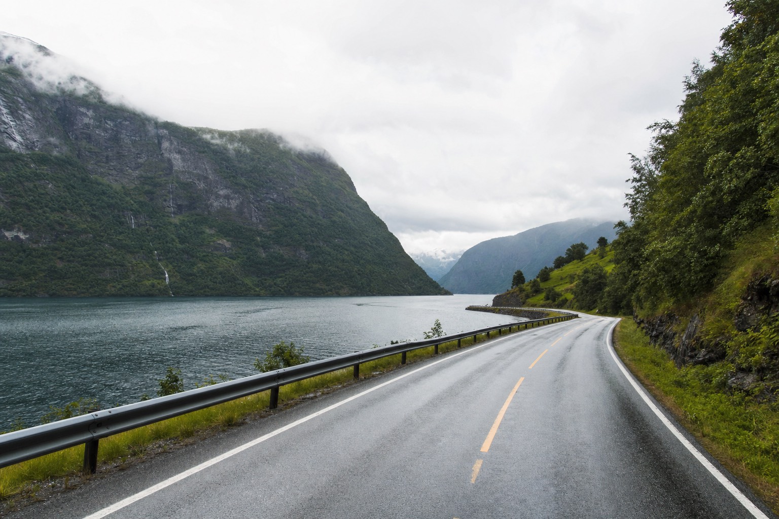
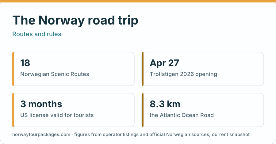
A Norway road trip works best as a loop of two or three of the 18 National Scenic Routes rather than a dash across the country. Seven days covers Bergen, Flåm, Geiranger, Trollstigen and the Atlantic Road. Book ferries into your timings and treat mountain passes as seasonal.
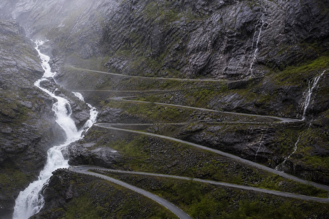
Eleven hairpin bends stacked into a mountain wall, a lane width that makes two buses breathe in, and meltwater falling past the guardrail. Trollstigen is the picture most people carry into a Norway self-drive, and it is also the reason plenty of itineraries fall apart, because the road is shut for roughly half the year. Driving here rewards planning more than spontaneity. Ferries run to timetables, mountain passes open on the weather's schedule, and the gap between two dots on a map rarely matches the hours it takes to close it.
Keep driving logistics separate from local excursions. Book an activity only after its starting town fits the road route.
Booking choice: If your loop reaches Geiranger, a 75-minute harbour cruise adds a water-level view. Bergen and Stavanger departures need different overnight bases. Explore Geiranger Fjord Sightseeing Cruise : 75 min
Which Scenic Routes Should A Norway Road Trip Be Built Around?
Norway has 18 National Scenic Routes, and most trips only need two or three of them. Geiranger to Trollstigen delivers the hairpins and the fjord viewpoints, the Atlantic Road adds 8.3 kilometres of low bridges over open sea, and Hardanger works as an easy extension from Bergen without adding a long transfer day.
These are not a marketing label. The National Scenic Routes are a state road programme, with purpose-built viewpoints and rest stops commissioned from Norwegian architects, and the full set is listed by visitnorway.com alongside the road authority's own route pages. Trying to drive all 18 in one holiday is how people end up seeing more windscreen than fjord. Pick a cluster in one region instead.
| Scenic route | Roughly where it runs | Typical season | What the drive gives you |
|---|---|---|---|
| Geiranger to Trollstigen | Geirangerfjord to Åndalsnes | Late spring to autumn | Hairpins, the Eagle Road viewpoint, UNESCO-listed Geirangerfjord |
| Atlanterhavsvegen (Atlantic Road) | Averøy to Eide, 8.3 km | Year-round | Low bridges skipping between skerries, exposed to wind; stop only when safe |
| Sognefjellet | Lom to Gaupne over the mountains | Usually closed in deep winter | The highest mountain pass road in northern Europe |
| Hardanger | Around Hardangerfjord, inland from Bergen | Year-round | Orchards, waterfalls, an easy first or last leg |
| Aurlandsfjellet (the Snow Road) | Aurland to Lærdal | Summer only | The Stegastein platform and a bare high plateau |
| Lofoten | E10 through the islands | Year-round, weather permitting | Granite peaks straight out of the sea, fishing villages |
Season matters more than distance. Two of the routes above are effectively summer-only, so a May trip and a September trip can look very different even on identical paper plans. If you are weighing a summer drive against a winter one, our best time to visit Norway guide breaks the trade-offs down month by month.
What Does A Realistic Seven-Day Norway Driving Loop Look Like?
A workable week starts and ends in Bergen, runs inland to Flåm, north to Geiranger, over Trollstigen to Åndalsnes, out to the Atlantic Road, then back south. That is roughly 1,200 kilometres with two ferry crossings, and it leaves two days without a long transfer.
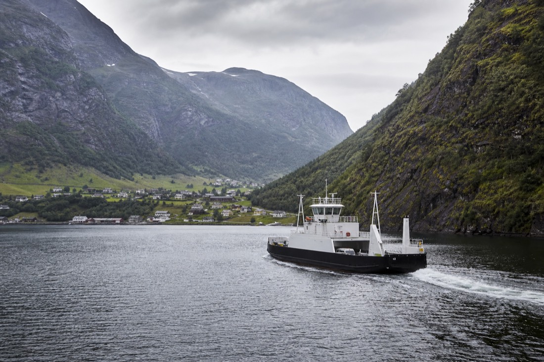
The loop below is deliberately unbalanced. Two days carry most of the driving, which buys you full days in Geiranger and on the coast rather than a steady grind of four-hour transfers. All times are approximate and assume summer conditions, not a wet October afternoon behind a caravan.
| Day | Leg | Approx. driving | Why it earns the day |
|---|---|---|---|
| 1 | Bergen to Flåm via E16 | 2.5 to 3 hours | Warm-up drive via Voss and Gudvangen; the Lærdal Tunnel lies beyond Flåm |
| 2 | Flåm to Geiranger | 5 to 6 hours with ferries | The long haul, broken by the Stegastein detour |
| 3 | Geiranger, no transfer | Under 1 hour | Eagle Road, Flydalsjuvet, a fjord cruise |
| 4 | Geiranger to Åndalsnes over Trollstigen | 2.5 to 3 hours | The hairpins, plus the Eidsdal ferry |
| 5 | Åndalsnes to the Atlantic Road and back | 3 to 4 hours | Bridges, fishing villages, exposed coast |
| 6 | Åndalsnes south towards Sogn | 5 to 6 hours | Long day, mountain scenery the whole way |
| 7 | Return to Bergen | 3 to 4 hours | Buffer built in for the flight home |
Ten days changes the shape more than it changes the route. The usual additions are an Oslo start with a crossing of the Hardangervidda plateau, or a flight north to fly-drive Lofoten as a separate block, which our 10-day Norway itinerary sets out in full. What ten days does not buy is Lofoten by road from Bergen. That is well over 2,000 kilometres one way, and it eats the holiday.
Related planning: fjord cruise options.
Is Trollstigen Open In 2026?
Yes. Trollstigen opened on 29 April 2026 and remains subject to seasonal and temporary closures, weather permitting. The pass can still close on short notice for snow, rockfall risk and maintenance.
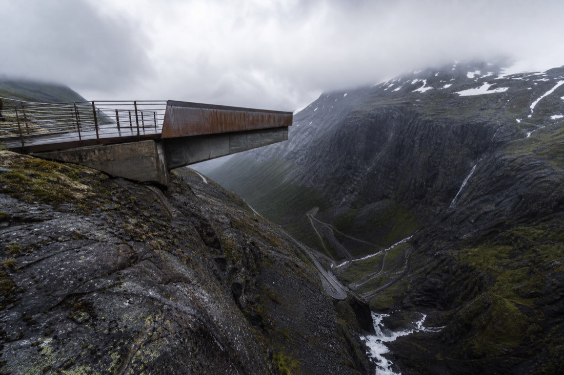
Treat the opening date as a starting gun, not a guarantee. The road authority publishes closures live, and fjordnorway.com has tracked the Trollstigen situation through the closure years and the reopening. Check it the morning you plan to drive, not the week before.
Rental logistics are worth confirming early, particularly one-way drop-offs.
If the pass is shut, the trip still works. E136 through Romsdalen links Åndalsnes to the main north-south network without any high pass at all, and the ferry crossings around Geiranger keep running. You lose the hairpins and keep the itinerary.
How Do Tolls, Ferries And Fuel Actually Work?
Almost everything is automated. Toll gates and most car ferries read your plate through the AutoPASS system and bill the rental company, which passes the charge on with an admin fee. There are no booths to stop at, no cash lanes, and no way to opt out of the toll rings around the cities.
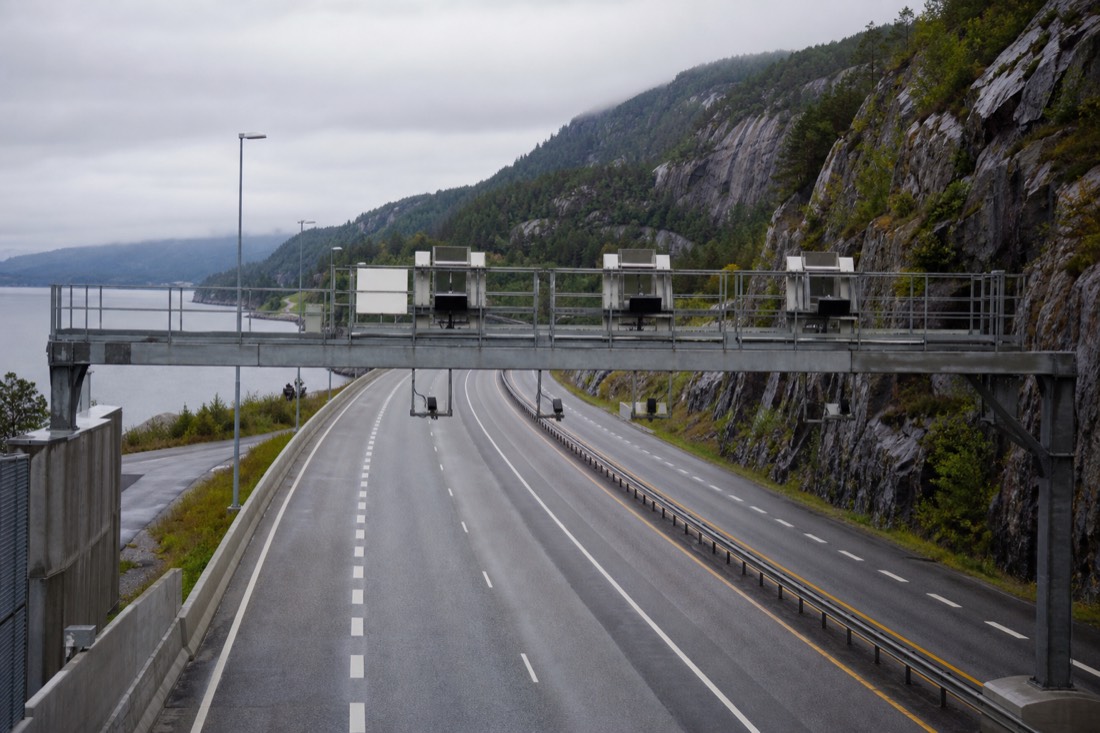
The single most common surprise is a rental invoice arriving weeks after the trip. That is normal here. What you can control is the admin fee, which varies a lot between rental companies, so read that clause before you book rather than after.
| Cost item | How it is charged | What to sort before you drive |
|---|---|---|
| Road tolls | Automatic plate recognition at unmanned gantries | Confirm the rental's AutoPASS arrangement and admin fee |
| City toll rings | Charged on entry to Oslo, Bergen and others, rates vary by time and engine | Budget for it rather than trying to route around it |
| Car ferries | Mostly AutoPASS for ferje, billed automatically | Check timetables; frequency drops sharply after 8pm |
| Fuel | Card or app at the pump, cards near-universal | No cash needed anywhere, but bring a chip-and-PIN card |
| Electric charging | Dense network, several competing operators | Download the operator apps before you leave the airport |
| Parking | App-based in most towns | Register a plate in the app on arrival |
Electric rentals are common and the charging network is dense by European standards, particularly along the main corridors. Where it thins out is the far north and the high passes, so plan charging stops the way you would plan fuel on a remote route. Costs across the whole trip add up faster than most people expect, and our Norway trip cost breakdown puts numbers to the rest of it.
Can You Drive Norway In Winter?
You can, and many people do, but the itinerary has to change. The high scenic passes are closed, daylight in the north shrinks to a few twilight hours, and studded or winter tyres are the legal norm. A winter drive works best as a short coastal or lowland loop, not a fjord grand tour.
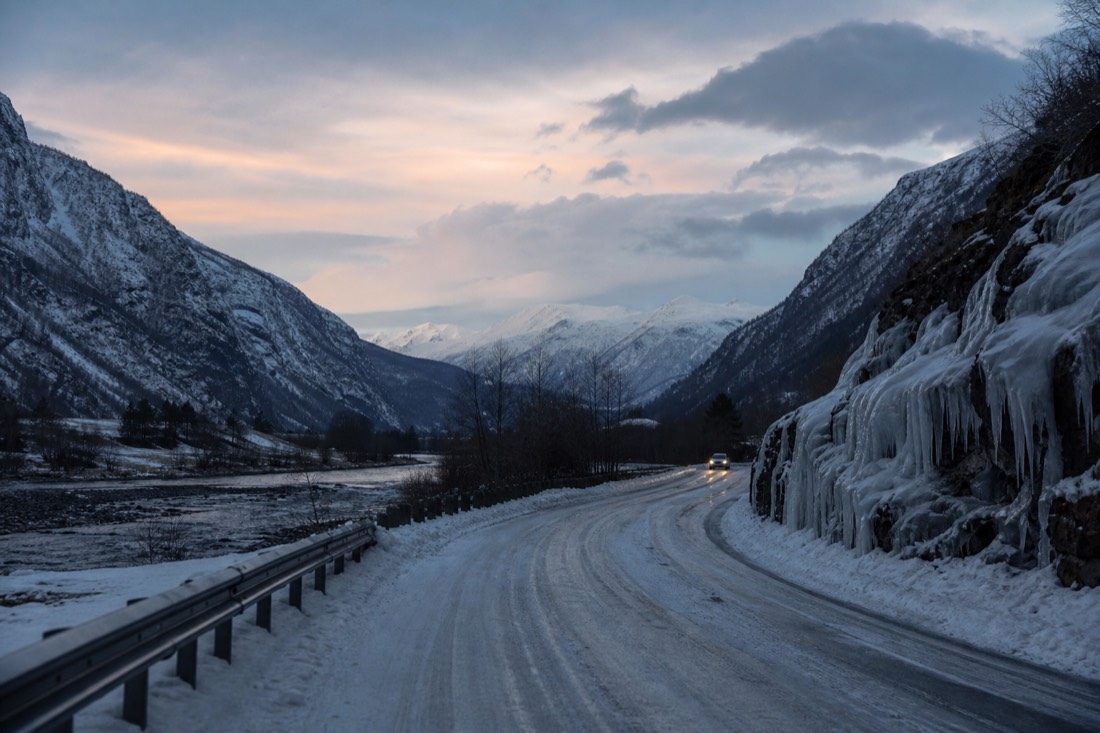
The honest version: the routes that make a Norway road trip famous are the ones that shut first. Sognefjellet, Aurlandsfjellet and Trollstigen are all out of the picture between roughly November and May. What stays open is the coast, the tunnels and the main E-roads, and those are genuinely worth driving in low winter light.
| Winter factor | What it means on the road | Practical fix |
|---|---|---|
| Closed high passes | Sognefjellet, Aurlandsfjellet, Trollstigen all shut | Route via tunnels and coastal E-roads |
| Short daylight | Tromsø sits in polar night from around 27 November to 15 January | Drive short legs, arrive before dark |
| Ice and packed snow | Standard on secondary roads for months | Confirm the rental has winter tyres, not all-seasons |
| Sudden closures | Mountain crossings run in convoy or shut entirely | Check yr.no and road status each morning |
| Ferry disruption | Wind cancels crossings on exposed routes | Build a spare half-day into any tight plan |
Weather forecasting here is unusually good, and the national service behind it is worth trusting over a generic phone app. For a broader picture of what the season does to opening hours, transport and light, see our guide to Norway in winter before you commit to dates.
What Are The Driving Rules And Costs Visitors Miss?
Tolls are automatic and invoiced to the rental, ferries are frequent and charged per crossing, and speed enforcement is strict with severe penalties. A US licence is valid for tourists up to three months in category B, with an IDP recommended.
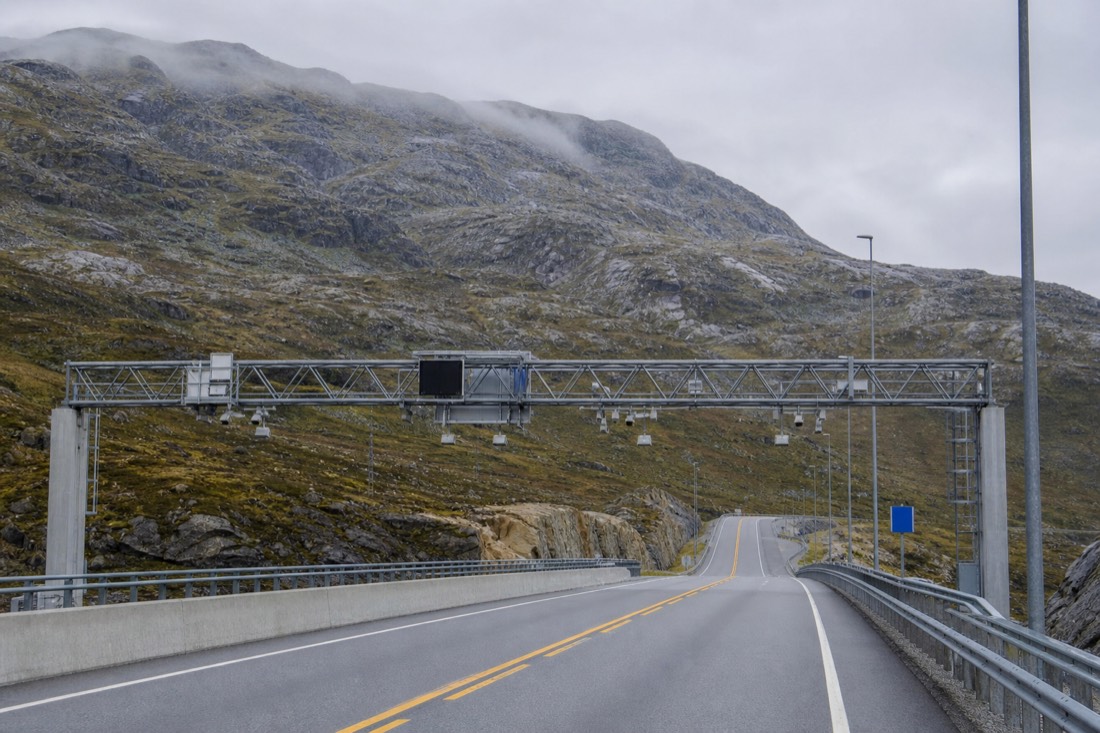
Norwegian driving is straightforward and expensive in ways that surprise people at the end of the trip rather than the start, because most of the charges arrive after you return the car.
| Item | How it works |
|---|---|
| Tolls | Automatic plate recognition; billed via the rental company |
| Ferries | Frequent on coastal routes; pay per crossing |
| Speed limits | Strictly enforced; penalties are severe |
| Licence | US licence valid up to 3 months, category B; IDP recommended |
| Winter tyres | Required in winter conditions |
| Fuel | Expensive; stations sparse in the north |
| Parking | Charged in towns and at some trailheads |
Automatic billing means you will not see these costs during the trip at all.
Budget for tolls and ferries as a real line rather than an afterthought. On a west-coast loop with several crossings they add up to a meaningful share of the driving cost.
Which Seasonal Roads Gate A Norwegian Road Trip?
The high mountain passes. Trollstigen is the headline example, closed through winter and reopening 29 April in 2026 with temporary closures still possible. Several National Tourist Routes follow the same pattern, so a spring itinerary needs checking before it is booked.
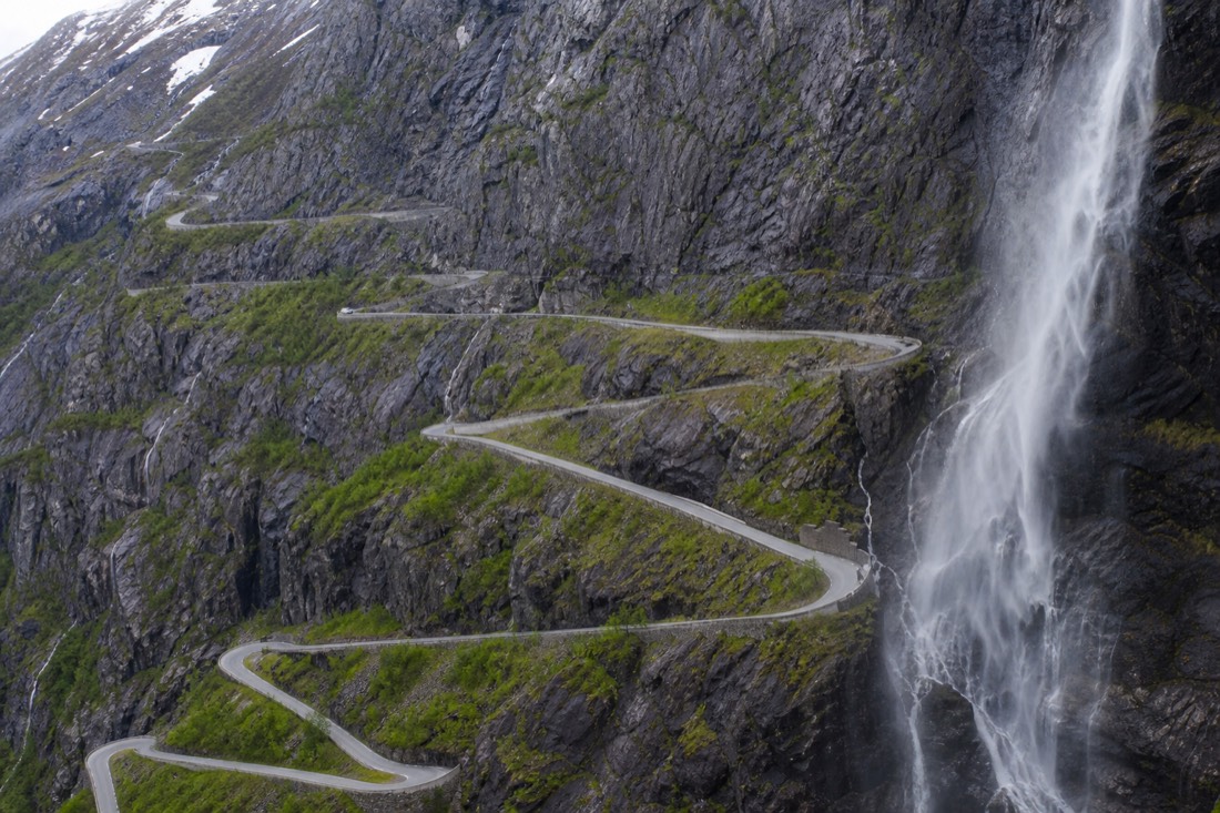
This is the single biggest constraint on Norwegian road-trip planning and the one most often discovered too late. The scenic roads that make the trip are precisely the ones that close.
| Road type | Season | Planning note |
|---|---|---|
| High mountain passes | Closed in winter; reopen spring | Trollstigen reopened 29 April in 2026 |
| National Tourist Routes | Many are seasonal | Check individual route status |
| Coastal highways including the Atlantic Road | Open year-round | Wind can close bridges briefly |
| Main E-roads | Open year-round, maintained | The reliable winter network |
| Fjord ferry crossings | Year-round, reduced winter timetables | Check last sailings |
Plan a spring trip against the reopening dates rather than the calendar. A route designed for June driven in early May can hit a closed barrier and add several hours of detour.
Is A Road Trip Better Than The Train-and-boat Version?
For flexibility and remote corners, yes. For the classic route between Oslo, Bergen and the famous fjords, no. The Bergen Line and the fjord boats reach that scenery better than a car does, and without tolls, ferries or parking.
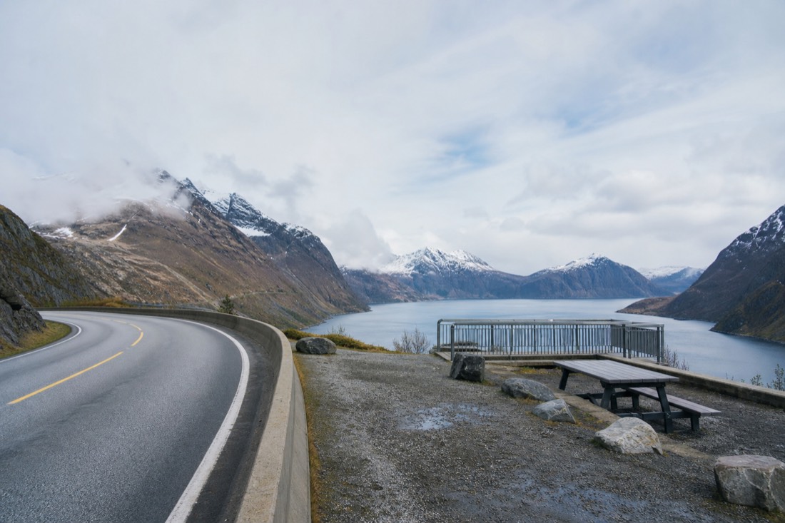
Ferries deserve one practical note. Most fjord crossings on the main network run frequently enough that turning up and joining the queue is normal, but a handful of longer or seasonal routes take reservations and fill in summer. Checking which is which along your specific route takes ten minutes and prevents the single delay most likely to reshape a day.
The honest comparison depends entirely on where you are going. Norway's public transport was built to serve the same valleys tourists want to see, which makes driving redundant on the main corridors and essential off them.
| Route | Car or public transport | Why |
|---|---|---|
| Oslo to Bergen | Train | The line is a highlight; driving is slower |
| Classic fjord loop | Train, boat and bus | Purpose-built for it |
| Lofoten | Car | Buses are sparse |
| National Tourist Routes | Car | The road is the attraction |
| Far north and Senja | Car | Limited services |
| City to city | Train or flight | Faster and cheaper than driving |
A hybrid often wins: take the train west, then rent a car for the section that genuinely needs one. It avoids paying for a vehicle to sit outside a Bergen hotel for three days.
Where Should You Actually Sleep On A Norwegian Driving Route?
In small fjord villages rather than the cities you pass through. The scenic roads are best in early morning and late evening light, and staying near them removes the two hours of driving that otherwise eat the best conditions of the day.
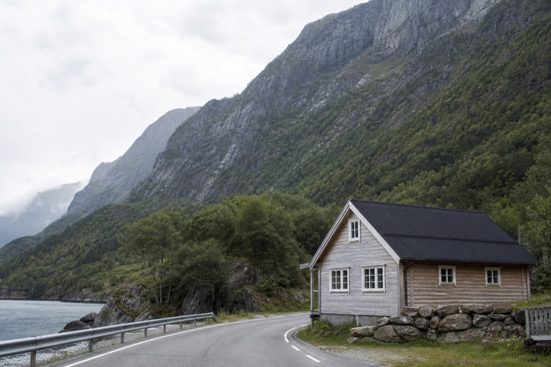
Road-trip itineraries often default to city hotels because they are easier to book, then spend the first and last hours of every day commuting out to the scenery and back. Norway's small-village accommodation is limited but transforms the trip.
| Stay in | Rather than | What it buys |
|---|---|---|
| Flåm or Aurland | Bergen, driving out daily | Early light on the fjord, quiet evenings |
| Geiranger or Loen | Ålesund every night | The Eagle Road before the coaches |
| Åndalsnes | A city base for Trollstigen | The pass at its emptiest |
| A Lofoten rorbu | Svolvær only | Village atmosphere, aurora on the doorstep |
| Voss | Bergen, for a mountain day | Access without the commute |
The catch is capacity. These places have a handful of properties, they sell out months ahead in summer, and cancelling late is expensive. A driving itinerary in July needs its beds booked well before its route is finalised.
In winter the calculation flips slightly: several small-village properties close for the season, and the high roads that justify staying near them are shut anyway. A winter road trip is better run from larger towns on the maintained coastal network.
Can Americans Drive In Norway On A US Licence?
Yes. A US driving licence is valid for tourists in Norway for up to three months, with no International Driving Permit required for a normal holiday. Rental companies set their own minimum age and card rules, which are usually the real constraint rather than the licence itself.
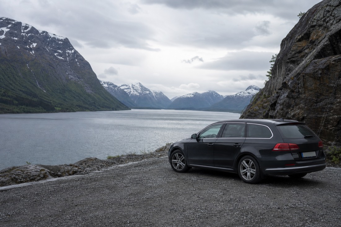
Fuel planning deserves one line of its own. Stations thin out considerably in the north and in the mountains, and several close overnight, so the habit of refilling at half a tank rather than a quarter is worth adopting for the whole trip.
Entry paperwork is equally light for now. US citizens do not need a visa for Norway under the Schengen 90 in 180 day rule, and the ETIAS travel authorisation, while planned, is not operational yet. Norwegian driving culture is quiet and rule-bound: speed limits are lower than American drivers expect, enforcement is heavy, and tunnels are everywhere.
A few habits save trouble. Dip your headlights day and night, because running lights are mandatory year-round. Give way early on single-lane fjord roads, since passing places are frequent and reversing on a cliff edge is nobody's idea of a holiday. And keep the driving days short enough that you can stop at the viewpoints, which is the entire point of a route the state built viewpoints for. If a self-drive starts looking like more work than it is worth, guided multi-day packages cover the same fjord corridor with someone else at the wheel.
Choose Your Norway Experience
Geiranger Fjord Sightseeing Cruise : 75 min. See Geirangerfjord from the water on a 75-minute sightseeing cruise. Have a date in mind? Check it before arranging the rest of your Norway trip.
1 hour 15 minutes. Start and finish at Geiranger harbour. Arrive 15 minutes early. English audio guide; drinks cost extra. Allow separate travel time to Geiranger.
Choose a date to see scheduled departures. Final availability and price are confirmed on Viator.
No verified experience fits those requirements. Adjust your choices, or keep the independent plan described above.
Compare Options And Fit Your Plans
General recommendation until you choose. Choose the city where the activity starts, not your arrival airport. Month filters describe the experience’s season, not confirmed departures. Allow travel to the meeting point as well as the listed duration. Confirm your exact option and access needs when booking.
- Guided tour to Hardangerfjord with Waterfalls and Ferry Crossing: 8 hours 30 minutes. Visit Hardangerfjord waterfalls with a guide, minibus transport and a ferry crossing. 8.5 hours from Strandkaien 1, outside tourist information. Ages 4+. Ferry tickets are included; meals are not. Meet 10 minutes before departure.
- Stavanger Silent Lysefjord and Pulpit Rock Cruise by Hybrid Boat: 3 hours 30 minutes. See Preikestolen from below and cruise past Lysefjord waterfalls with an English-speaking guide. 3.5 hours from Strandkaien near Stavanger tourist information; arrive 15 minutes early. Lunch is excluded. The cruise does not take you onto the Preikestolen plateau.
- Guided tour - Viking Village, Nærøyfjord Cruise and Flåm Railway: 10 hours 30 minutes. Join the Nærøyfjord cruise, Flåm Railway and Viking village in one guided day. Round trip from Strandkaien 16, Bergen. Choose the English option. Food and drinks cost extra. This is a day trip, with no hotel night.